

Mills River Map, Mills River, NC
$9.99
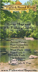
The Mills River map consists of both the North and South Forks and the Mills River proper to its convergence with the French Broad. The North Fork is a heavily stocked stream and is managed as Delayed Harvest, while the South Fork is one of the state’s largest wild trout rivers. Our full color, waterproof map and fly fishing guide measures 11″ x 17″ and has all the info you need to get on the water, including hatch charts, recommended flies, access points, trail heads, parking locations, and local information.


Reviews
There are no reviews yet.