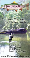
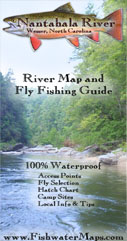
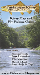
Fishwater Maps is dedicated to making high quality, finely crafted, accurate maps and fishing guides. We specialize in creating river maps and coastal maps for fly fisherman and light tackle anglers that include all the information you need to get there and get fishing. Our full color maps measure 11″ x 17″ and are printed on waterproof; heavy duty synthetic paper that can take years of abuse on the water. They feature regional maps, access points, hatch charts, GPS Points, water release travel times on tailwaters, float times for boaters, fly and tackle recommendations, important phone numbers and local information such as where to eat, where to sleep and other services of interest to fisherman.